

The Brothers That Just Do Gutters · Anaheim · Fire Zone Check
Is Your North Orange County Home in a Fire Hazard Zone?
Get a free Roofline Fire Report: the CAL FIRE fire hazard zone where you live, how close the nearest Very High zone is, and the wildfires on record nearby.
- Official CAL FIRE map data
- Wildfire history since 2000
- California Contractor License #1145336
- Very High
- High
- Moderate
- Communities we serve
- Past fire perimeters
Quick answer
Fire zones and gutters in North Orange County: From Anaheim Hills and the east side of Orange to the Coyote Hills in Fullerton and La Habra, 12 of the 26 communities our Anaheim team serves include land CAL FIRE maps as a Very High Fire Hazard Severity Zone, while 13, from Garden Grove and Santa Ana to Westminster and Cerritos, sit outside every mapped zone. California law requires homes in State Responsibility Area zones and locally adopted Very High zones to keep the roof free of leaves, needles and other plant material, and the state wildfire building code calls for noncombustible gutters with an approved way to keep debris out. CAL FIRE also notes embers can ignite homes up to a mile away, which is why a clogged gutter matters on every street we serve. Check your home above, call (714) 276-6631 or book online.
Where homes actually catch
Watch what one ember does to a full gutter
Wildfires rarely knock on the front door. When the Santa Ana winds blow, they throw embers ahead of the flames, and they land where dry fuel waits. On most roofs, that’s the gutter.
Dry leaves and needles are kindling sitting right against the roof edge and fascia board. An ember that lands here can smolder into flame where the roof meets the house.
30-second self check
How ready is your roofline?
Four taps. If you checked your address above, we already filled in your zone.
Answer all four to see your roofline readiness.
A quick self check, not an inspection or an official rating.
Community by community
Fire zones in every community we serve
Share of each community’s land inside CAL FIRE’s mapped zones, most exposed first. For one house, the address check at the top is exact.
Is Anaheim Hills in a fire hazard zone?
Large Very High areasYes, in the hills. Across the 92807 and 92808 ZIP codes, about 33% of the land is mapped Very High Fire Hazard Severity Zone and 8% High on CAL FIRE’s Local Responsibility Area map, with the zones in the hillside neighborhoods south of the 91. The boundary here is approximate, so check your exact address above. CAL FIRE records 12 wildfires within 2 miles since 2000, including Freeway (2008), Blue Ridge (2020), Sierra (2006).
Gutter service in Anaheim HillsIs Orange in a fire hazard zone?
Large Very High areasYes. About 22% of Orange is in a Very High Fire Hazard Severity Zone and 4% in High, nearly all of it in the hills on the east side of the city. The City Council introduced Ordinance No. 07-25, adopting CAL FIRE’s recommended local map, on May 13, 2025. CAL FIRE records 13 wildfires within 2 miles since 2000, including Santiago (2007), Silverado (2020), Sierra (2006).
Gutter service in OrangeIs Anaheim in a fire hazard zone?
Large Very High areasYes. About 19% of Anaheim is in a Very High Fire Hazard Severity Zone and 3% in High on CAL FIRE’s Local Responsibility Area map, and all of that Very High land is in Anaheim Hills, east of the 55. CAL FIRE records 13 wildfires within 2 miles since 2000, including Freeway (2008), Blue Ridge (2020), Sierra (2006).
Gutter service in AnaheimIs Fullerton in a fire hazard zone?
Very High pocketsYes. About 11% of Fullerton is in a Very High Fire Hazard Severity Zone and 3% in High on CAL FIRE’s local map, in the Coyote Hills on the north side of town. CAL FIRE records 4 wildfires within 2 miles since 2000, including Freeway (2008).
Gutter service in FullertonIs North Tustin in a fire hazard zone?
Very High pocketsYes. About 9% of North Tustin is in a Very High Fire Hazard Severity Zone and 5% in High on CAL FIRE’s Local Responsibility Area map. CAL FIRE records 11 wildfires within 2 miles since 2000, including Santiago (2007), Silverado (2020), Canyon II (2017).
Gutter service in North TustinIs Orange Park Acres in a fire hazard zone?
Very High pocketsYes. About 6% of Orange Park Acres is in a Very High Fire Hazard Severity Zone, 8% in High and 14% in Moderate on CAL FIRE’s maps. CAL FIRE records 4 wildfires within 2 miles since 2000, including Canyon II (2017).
Gutter service in Orange Park AcresIs El Modena in a fire hazard zone?
Very High pocketsYes. About 6% of El Modena is in a Very High Fire Hazard Severity Zone, 10% in High and 15% in Moderate on CAL FIRE’s maps. CAL FIRE records 1 wildfire within 2 miles since 2000, including Canyon II (2017).
Gutter service in El ModenaIs Tustin in a fire hazard zone?
Very High pocketsYes, at the edge. About 6% of Tustin is in a Very High Fire Hazard Severity Zone, on the east side of the city near Peters Canyon. CAL FIRE records 10 wildfires within 2 miles since 2000, including Santiago (2007), Silverado (2020), Canyon II (2017).
Gutter service in TustinIs La Habra in a fire hazard zone?
Very High pocketsYes, at the edge. About 5% of La Habra is in a Very High Fire Hazard Severity Zone and 3% in High, along the southern edge where the city meets the Coyote Hills. CAL FIRE records 3 wildfires within 2 miles since 2000.
Gutter service in La HabraIs Villa Park in a fire hazard zone?
Very High pocketsYes, at the edge. About 2% of Villa Park is in a Very High Fire Hazard Severity Zone, 4% in High and 5% in Moderate, along the eastern edge of town. CAL FIRE records 3 wildfires within 2 miles since 2000, including Canyon II (2017).
Gutter service in Villa ParkIs La Mirada in a fire hazard zone?
Very High pocketsYes, at the edge. About 1% of La Mirada is in a Very High Fire Hazard Severity Zone, at the far eastern corner where it meets the Coyote Hills.
Gutter service in La MiradaIs Buena Park in a fire hazard zone?
Very High pocketsBarely. Under 1% of Buena Park is mapped Very High Fire Hazard Severity Zone, a sliver in the northeast corner by the Coyote Hills. Nearly all of the city sits outside CAL FIRE’s mapped zones.
Gutter service in Buena ParkIs Huntington Beach in a fire hazard zone?
High zone areasBarely. Under 1% of Huntington Beach is in a High Fire Hazard Severity Zone and under 1% in Moderate, on a few open-space edges. No part of the city is mapped Very High.
Gutter service in Huntington BeachIs Artesia in a fire hazard zone?
Ember reachNo. Artesia sits outside CAL FIRE’s mapped zones, but CAL FIRE says embers can ignite homes up to a mile away, so a clean roofline still matters.
Gutter service in ArtesiaIs Cerritos in a fire hazard zone?
Ember reachNo. Cerritos sits outside CAL FIRE’s mapped zones, but CAL FIRE says embers can ignite homes up to a mile away, so a clean roofline still matters.
Gutter service in CerritosIs Cypress in a fire hazard zone?
Ember reachNo. Cypress sits outside CAL FIRE’s mapped zones, but CAL FIRE says embers can ignite homes up to a mile away, so a clean roofline still matters.
Gutter service in CypressIs Fountain Valley in a fire hazard zone?
Ember reachNo. Fountain Valley sits outside CAL FIRE’s mapped zones, but CAL FIRE says embers can ignite homes up to a mile away, so a clean roofline still matters.
Gutter service in Fountain ValleyIs Garden Grove in a fire hazard zone?
Ember reachNo. Garden Grove sits outside CAL FIRE’s mapped zones, but CAL FIRE says embers can ignite homes up to a mile away, so a clean roofline still matters.
Gutter service in Garden GroveIs Hawaiian Gardens in a fire hazard zone?
Ember reachNo. Hawaiian Gardens sits outside CAL FIRE’s mapped zones, but CAL FIRE says embers can ignite homes up to a mile away, so a clean roofline still matters.
Gutter service in Hawaiian GardensIs La Palma in a fire hazard zone?
Ember reachNo. La Palma sits outside CAL FIRE’s mapped zones, but CAL FIRE says embers can ignite homes up to a mile away, so a clean roofline still matters.
Gutter service in La PalmaIs Lakewood in a fire hazard zone?
Ember reachNo. Lakewood sits outside CAL FIRE’s mapped zones, but CAL FIRE says embers can ignite homes up to a mile away, so a clean roofline still matters.
Gutter service in LakewoodIs Long Beach in a fire hazard zone?
Ember reachNo. The east Long Beach neighborhoods we serve sit outside CAL FIRE’s mapped zones, but CAL FIRE says embers can ignite homes up to a mile away, so a clean roofline still matters.
Gutter service in Long BeachIs Midway City in a fire hazard zone?
Ember reachNo. Midway City sits outside CAL FIRE’s mapped zones, but CAL FIRE says embers can ignite homes up to a mile away, so a clean roofline still matters.
Gutter service in Midway CityIs Santa Ana in a fire hazard zone?
Ember reachNo. Santa Ana sits outside CAL FIRE’s mapped zones, but CAL FIRE says embers can ignite homes up to a mile away, so a clean roofline still matters.
Gutter service in Santa AnaIs Stanton in a fire hazard zone?
Ember reachNo. Stanton sits outside CAL FIRE’s mapped zones, but CAL FIRE says embers can ignite homes up to a mile away, so a clean roofline still matters.
Gutter service in StantonIs Westminster in a fire hazard zone?
Ember reachNo. Westminster sits outside CAL FIRE’s mapped zones, but CAL FIRE says embers can ignite homes up to a mile away, so a clean roofline still matters.
Gutter service in WestminsterThe rules
What California asks of your roofline
In State Responsibility Area zones and locally adopted Very High zones, owners must “maintain the roof of a structure free of leaves, needles, or other vegetative materials.”
Gutters and downspouts “shall be constructed of noncombustible material,” with “an approved means to prevent the accumulation of leaves and debris.”
“Keep gutters free from plant debris to prevent ember ignition” and “use noncombustible gutter covers to keep out debris and reduce maintenance.”
Fire zone gutter questions
Use the check at the top of this page. Tap “Use my location” for your exact spot or pick your community, and it reads CAL FIRE’s official State Responsibility Area map (in effect April 1, 2024) and Local Responsibility Area map (dated March 24, 2025). Your city’s adopted map is the legal reference. Cities had 120 days from receiving the state’s recommendations to adopt them by ordinance.
California’s 2025 Wildland-Urban Interface Code, section 504.4, requires gutters and downspouts to be noncombustible and gutters to have an approved way to keep leaves and debris out. State law also requires homes in State Responsibility Area zones and locally adopted Very High zones to keep roofs free of leaves, needles and other plant material.
Yes. CAL FIRE says embers can ignite homes up to a mile away, and a gutter full of dry leaves and needles is exactly where they land. Keeping it clean, or covered with non-combustible mesh, lowers that risk anywhere.
The National Weather Service issues a Red Flag Warning when warm temperatures, very low humidity and strong winds combine to create critical fire weather. Our check shows any active Red Flag Warning or Fire Weather Watch for your address, live.
Plastic and foam can burn, and the WUI code calls for noncombustible gutters. CAL FIRE recommends noncombustible gutter covers. Our crews install stainless BroGuard micro-mesh.
Before fire season, again after the heavy leaf drop, and after any Santa Ana wind event. Homes under ficus, pepper trees, sycamores or palms usually need more visits, and a metal mesh guard cuts that down a lot.
Sources and how this works
- CAL FIRE Office of the State Fire Marshal, Fire Hazard Severity Zones (State Responsibility Area map adopted January 31, 2024, in effect April 1, 2024; Local Responsibility Area map dated March 24, 2025)
- 2025 California Wildland-Urban Interface Code, section 504.4, emergency supplement (effective January 1, 2026)
- California Public Resources Code section 4291(a)(4)
- California Government Code section 51182(a)(4)
- California Government Code section 51179 (local adoption of zones by ordinance within 120 days)
- City of Orange City Council, May 13, 2025, Ordinance No. 07-25 adopting the State Fire Marshal’s recommended Local Responsibility Area map
- City of Anaheim, Wildfire section of an environmental impact report, June 2025 (the city’s wildland-urban interface lies east of SR-55 and south of SR-91)
- CAL FIRE Ready for Wildfire, Hardening Your Home
- National Weather Service alerts API (live Red Flag Warnings and Fire Weather Watches)
- CAL FIRE Fire and Resource Assessment Program, California Fire Perimeters
- U.S. Census Bureau TIGERweb, city, census-designated place and ZIP code area boundaries
- USGS The National Map, imagery basemap (public domain)
The address check queries CAL FIRE’s published zone layers and the National Weather Service in real time. Community shares were measured in October 2026 from the same layers against U.S. Census city and census-designated place boundaries, with ZIP code areas standing in for Anaheim Hills (92807 and 92808) and the east Long Beach neighborhoods we serve. Nearby wildfire history comes from CAL FIRE’s fire perimeter records since 2000 (fires of 10 acres or more within 5 miles). Map tiles by OpenFreeMap, data from OpenStreetMap contributors; satellite imagery from USGS. Address search by Esri.
Free estimates
Get your roofline fire-season ready
Free, no-pressure estimates from local Solutionists. Hand cleaning, seamless metal gutters formed at your home, and non-combustible BroGuard mesh that keeps debris out for good.
From the blog
Gutter advice for Anaheim and North Orange County homes
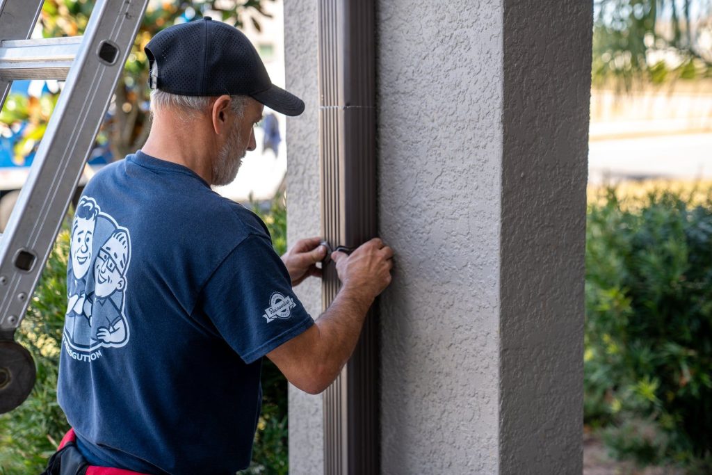 What Santa Ana Winds Do to Your Gutters and Downspouts
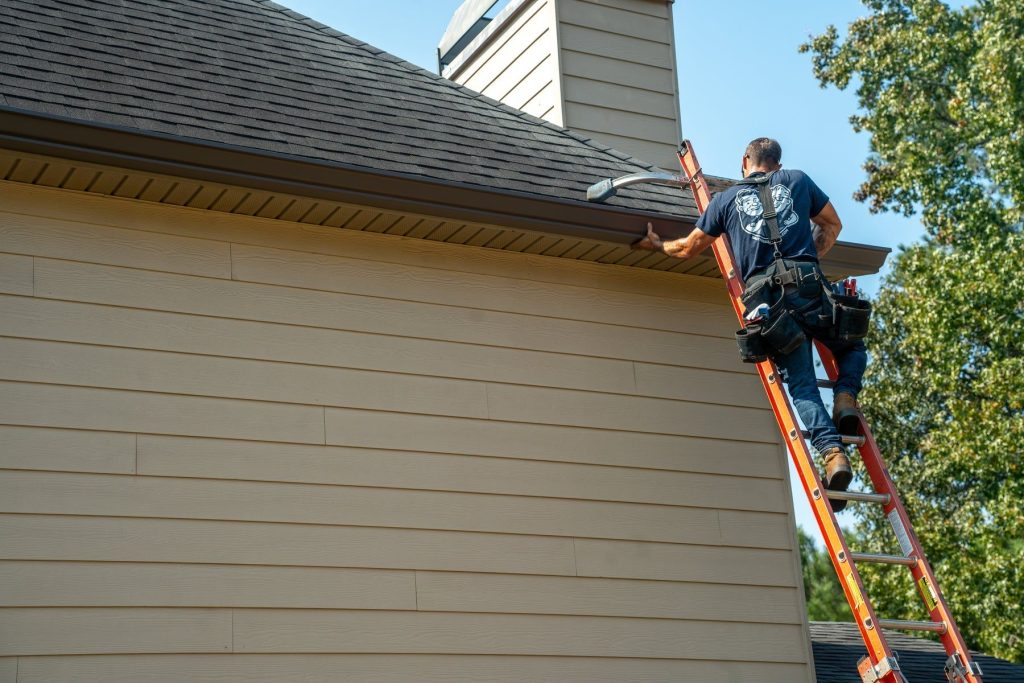 Gutters for Anaheim Hills Hillside Homes: Runoff and Slopes
♿
Bigger Text
Biggest Text
Text Spacing
Readable Font
Highlight Links
Highlight Titles
Big Cursor
High Contrast
Invert Colors
Grayscale
Pause Motion
Licensed & Bonded · California Contractor License #1145336